
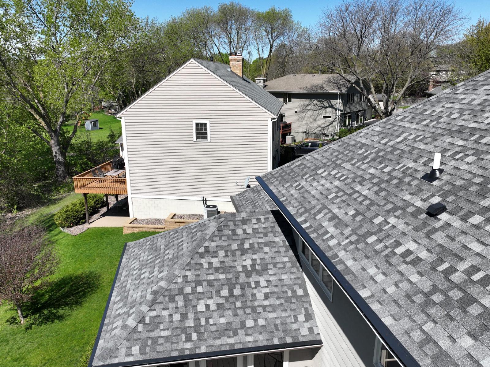
Wright County, Minnesota
Gutters, roofing, siding and windows in St. Michael, MN
Omega Exteriors serves St. Michael, Minnesota, in Wright County, from its Farmington office about 47 miles away. St. Michael has 19,267 residents in 6,981 households (American Community Survey 2023, 5-year). Call our Farmington office at (651) 998-8500 or request a free estimate online.
Services
Our services in St. Michael
4 service lines from Omega Exteriors in St. Michael, each with its own page for St. Michael.
Gutters
Experience unparalleled expertise and quality service with Omega Exteriors' premium gutter installations and repairs.
Roofing
Discover Omega Exteriors crafted roofing solutions that combine superior materials with exceptional service for lasting protection.
Siding
Experience unparalleled craftsmanship and reliable service with our expert siding solutions for lasting beauty and protection.
Windows
Offering unparalleled expertise and quality service, our windows enhance beauty, efficiency, and home value.
Every service, by line
Gutters
Roofing
Siding
Your home's exterior
What this means for your home's exterior
A figure from the public record of St. Michael for each of 4 service lines, and what such a figure means.
- Gutters in St. Michael
Wright County averages 31.3 inches of precipitation a year (NOAA 1991–2020 normals). One inch of rain on 1,000 square feet of roof is about 623 gallons of water for the gutters to carry.
- Roofing in St. Michael
15 of the 58 hail events on record within 10 miles of St. Michael from 2016 through March 31, 2026 had hail 1.5 inches or larger. The National Weather Service counts hail of 1 inch or larger as severe.
- Siding in St. Michael
The strongest thunderstorm wind on record within 10 miles of St. Michael from 2016 through September 22, 2025 was 85 mph. The National Weather Service counts a thunderstorm wind of 58 mph or more as severe.
- Windows in St. Michael
29% of homes in the 2 ZIP codes that cover St. Michael were built before 1980. A home built before 1980 was built before the energy codes in force today were written.
Source: NOAA Storm Events Database (hail events through March 31, 2026; thunderstorm-wind and tornado events through September 22, 2025); American Community Survey 2023, 5-year; NOAA 1991–2020 climate normals.
Homes
Homes and ZIP codes in St. Michael
Households, home age and home value by ZIP code in St. Michael.
Our pages cover 2 ZIP codes of St. Michael: 55376 and 55313. ZIP code 55376 has 6,972 households; its median home was built in 1997, and 82% of its housing units are single-family detached. The median home value in ZIP code 55376 is $364,600, and 92% of its occupied homes are owner-occupied. ZIP code 55313 has 9,145 households; its median home was built in 1990, and 77% of its housing units are single-family detached. The median home value in ZIP code 55313 is $321,000, and 81% of its occupied homes are owner-occupied. The median owner-occupied home in St. Michael is valued at $365,800. Each ZIP code in the table links to its own page; a ZIP code shared with a neighboring city has one page, under the city that holds the largest part of it.
| ZIP code | Address points in St. Michael | Households | Median year built | Single-family detached | Median home value | Built before 1980 |
|---|---|---|---|---|---|---|
| 55376 | 7,809 | 6,972 | 1997 | 82% | $364,600 | 18% |
| 55313 | 137 | 9,145 | 1990 | 77% | $321,000 | 37% |
Source: American Community Survey 2023, 5-year, by ZIP Code Tabulation Area (a ZIP code can extend beyond the city); ZIP list and address points from the Census address file.
Storm record
Storm record near St. Michael
Events in the NOAA Storm Events Database within 10 miles of St. Michael, from 2016 through March 31, 2026 for hail and through September 22, 2025 for thunderstorm wind and tornadoes.
The NOAA Storm Events Database records 58 hail events, 36 thunderstorm-wind events and 2 tornadoes within 10 miles of St. Michael from 2016 through March 31, 2026 for hail and through September 22, 2025 for thunderstorm wind and tornadoes. The largest hail on record there in that period was 3.5 inches on July 13, 2024, near Monticello. 15 of those hail events had hail 1.5 inches or larger.
The closest event to the center of St. Michael was 64 mph wind on July 5, 2016, less than 1 mile away near St. Michael. The most recent hail event within 10 miles of St. Michael was on August 15, 2025: 1 in hail near Rogers. The most recent thunderstorm-wind event within 10 miles of St. Michael was on July 28, 2025, near Albertville. The strongest thunderstorm wind recorded within 10 miles of St. Michael in that period was 85 mph. The busiest year was 2016, with 22 events in all.
Apart from those database entries, NOAA weather radar indicated hail of 1 inch or larger over St. Michael on 1 day from January 2025 on, most recently July 28, 2025. A radar indication is an estimate, not a report from the ground, and the counts and tables on this page do not include it.
Source: NOAA Storm Events Database (hail events through March 31, 2026; thunderstorm-wind and tornado events through September 22, 2025); NOAA MRMS radar hail estimates.
Event list
Recorded events within 10 miles of St. Michael
The 12 most recent events on record, newest first, each with its date, type and distance in miles.
Table: the 12 most recent events
| Date | Event | Nearest place | Miles away |
|---|---|---|---|
| August 15, 2025 | 1 in hail | Rogers | 6.9 |
| July 28, 2025 | 69 mph wind | Albertville | 2 |
| July 28, 2025 | 69 mph wind | Elk River | 9 |
| July 27, 2025 | 61 mph wind | Buffalo | 7.8 |
| June 28, 2025 | 64 mph wind | St. Michael | 1.7 |
| June 28, 2025 | 64 mph wind | Hanover | 2.9 |
| June 28, 2025 | 0.75 in hail | St. Michael | 1.3 |
| June 28, 2025 | 60 mph wind | Buffalo | 8 |
| May 15, 2025 | 0.88 in hail | Hanover | 3.1 |
| August 29, 2024 | 64 mph wind | Albertville | 3.1 |
| July 13, 2024 | 60 mph wind | Albertville | 2.9 |
| July 13, 2024 | 1.75 in hail | Big Lake | 9.2 |
Source: NOAA Storm Events Database (hail events through March 31, 2026; thunderstorm-wind and tornado events through September 22, 2025).
By year
Events within 10 miles of St. Michael by year
Hail, thunderstorm-wind and tornado events for each year from 2016 through 2026.
| Year | Hail events | Wind events | Tornadoes | Largest hail |
|---|---|---|---|---|
| 2026 | 0 | no data yet | no data yet | — |
| 2025 | 3 | 6 | 0 | 1 in |
| 2024 | 5 | 3 | 0 | 3.5 in |
| 2023 | 6 | 2 | 1 | 1.5 in |
| 2022 | 5 | 7 | 0 | 2 in |
| 2021 | 8 | 0 | 0 | 1.25 in |
| 2020 | 8 | 1 | 1 | 2.5 in |
| 2019 | 8 | 1 | 0 | 1.75 in |
| 2018 | 3 | 0 | 0 | 1.25 in |
| 2017 | 2 | 4 | 0 | 0.88 in |
| 2016 | 10 | 12 | 0 | 1 in |
Source: NOAA Storm Events Database (hail events through March 31, 2026; thunderstorm-wind and tornado events through September 22, 2025).
Housing
Homes across Wright County
Housing figures for Wright County, the county St. Michael is in, from the American Community Survey 2023, 5-year.
Wright County has 56,153 housing units, and 79% of them are single-family detached homes (American Community Survey 2023, 5-year). Another 9% are attached homes such as townhomes. Mobile homes make up 4% of the housing units.
The median home in Wright County was built in 1994. 31% of homes in Wright County were built before 1980, and 40% were built in 2000 or later. The most common building period is 2000–2009, with 15,320 homes.
84% of occupied homes in Wright County are owner-occupied. The median owner-occupied home in Wright County is valued at $332,800. Among occupied homes in Wright County, 70% heat with utility gas, 14% with electricity, 12% with bottled or tank gas, 1% with fuel oil and 1% with wood.
Source: American Community Survey 2023, 5-year (tables B25024, B25034, B25035, B25003, B25077, B25040).
Risk ratings
Wright County storm and winter risk ratings
FEMA National Risk Index scores for 7 perils in Wright County, with the county's rank in Minnesota.
St. Michael is in Wright County, so the county ratings below apply to it. Wright County scores 89.4 of 100 for hail in FEMA's National Risk Index, which ranks 9th of 87 Minnesota counties. Wright County scores 95 of 100 for strong wind in FEMA's National Risk Index, which ranks 9th of 87 Minnesota counties. Wright County scores 72.3 of 100 for winter weather in FEMA's National Risk Index, which ranks 39th of 87 Minnesota counties. Of the perils listed here, the highest score in Wright County is for strong wind, at 95 of 100.
Wright County averages 31.3 inches of precipitation a year (NOAA 1991–2020 normals). The average annual temperature in Wright County is 44.2°F.
Table: risk scores for 7 perils
| Peril | Score (0–100) | Rank in Minnesota |
|---|---|---|
| Hail | 89.4 | 9th of 87 |
| Strong wind | 95 | 9th of 87 |
| Tornado | 71.2 | 48th of 87 |
| Winter weather | 72.3 | 39th of 87 |
| Ice storm | 59.8 | 11th of 87 |
| Cold wave | 47.3 | 73rd of 87 |
| Lightning | 62.9 | 15th of 87 |
Source: FEMA National Risk Index, 2026 release; rank among the state's counties computed from the scores; NOAA 1991–2020 climate normals.
Nearby
Cities near St. Michael
10 nearby cities we serve, with the straight-line distance from St. Michael.
The nearest other cities we serve, by straight-line distance, are Albertville (2.8 miles), Hanover (3.3 miles), Rogers (5.6 miles), Otsego (5.7 miles), Greenfield (7 miles), Rockford (8 miles), Corcoran (8.3 miles) and Monticello (8.4 miles). The other Wright County communities we serve are Albertville, Annandale, Buffalo, Clearwater, Cokato, Delano, Hanover, Howard Lake, Maple Lake, Monticello, Montrose, Otsego, Rockford, Silver Creek, South Haven and Waverly.
Your local office
Served from our Farmington office
How to reach the Farmington office, the nearest to St. Michael.
Our Farmington office is at 821 3rd St, Farmington, MN 55024, about 47 miles from St. Michael. Its hours are Monday–Friday 7:00 AM–7:00 PM. You can reach that office at (651) 998-8500.
Questions
Questions about St. Michael
8 questions and answers about Omega Exteriors in St. Michael.
Does Omega Exteriors serve St. Michael?
Yes. Omega Exteriors serves St. Michael from its Farmington office, about 47 miles away.
How often does hail hit St. Michael?
NOAA lists 58 hail events within 10 miles of St. Michael from 2016 through March 31, 2026. By year: 2026: 0, 2025: 3, 2024: 5, 2023: 6, 2022: 5, 2021: 8, 2020: 8, 2019: 8, 2018: 3, 2017: 2, 2016: 10.
When was the last recorded storm near St. Michael?
The most recent event on record within 10 miles of St. Michael is 1 in hail on August 15, 2025, near Rogers.
Have tornadoes been recorded near St. Michael?
NOAA lists 2 tornadoes within 10 miles of St. Michael from 2016 through September 22, 2025.
Which ZIP codes of St. Michael do you cover?
Our pages cover 2 ZIP codes of St. Michael: 55376 and 55313.
How old are homes in St. Michael?
The median home in the 2 ZIP codes that cover St. Michael was built in the 1990s, and 29% of homes there were built before 1980.
How does Wright County rate for hail and wind risk?
Wright County scores 89.4 of 100 for hail and 95 of 100 for strong wind in FEMA's National Risk Index, ranking 9th and 9th of 87 Minnesota counties.
Which office serves St. Michael?
Our Farmington office at 821 3rd St, Farmington, MN 55024, about 47 miles away.
More
Nearby and related
Links to Wright County and Minnesota.
Ready when you are
Tell us what you need and we will get back to you — Monday–Friday 7:00 AM–7:00 PM.
Request a free estimate
Your project in St. Michael
Send a few details and Omega Exteriors will reply by phone or email.